Itinerary n°2 Marenda
CLOSED
The hiking itineraries may only be used by people with the required technique, physical condition and equipment for ski touring, including emergency equipment (avalanche transceiver, shovel, probe). Please stay on the marked routes to avoid the danger of avalanches.
Each hiker ascends and descends at his/her own risk and responsibility. All hikers are subject to the FIS rules and must follow the SKUS guidelines (Swiss Commission for the Prevention of Accidents on Snow Sports Slopes).
The slopes and downhill runs are closed outside of opening hours and may not be used. Grooming machines with traction cables - danger of death! Only the resort and the persons responsible for the safety of the lifts and groomers may open the slopes and downhill runs to ski tourers.
The Nax Region Tourist Office declines all responsibility in the event of an accident. Please follow the safety instructions.
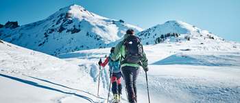
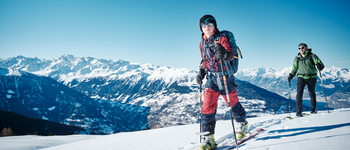
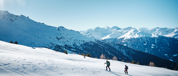
The itinerary n°2 begin from the top of the baby lift. Take the footpath that goes left into the forest. After about 200m leave the path and go up in the direction of the Bonvin Tower through the forest and then through a beautiful clearing. At the altitude of 2100m, take the direction of the south to join the point 2222. Follow the markings and do not climb too much under Mount Bonvin to avoid steep slopes (avalanches). Go to point 2222m and reach the top of the chairlift.
The downhill is done by another way :


